
Redefining Infrastructure Planning
Unique technology for smarter, faster, and more flexible infrastructure planning. Create, evaluate, and optimize your infrastructure alignments - all in one web-based platform.


How it works
Save planning
time
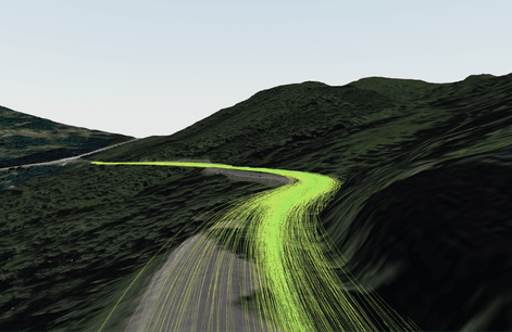
Our AI software can explore thousands of possible solutions - in minutes - with automatically generated 3D models and detailed analysis.
"From weeks to minutes"
Reduce construction
cost
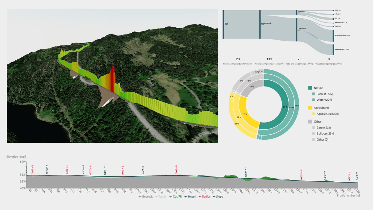
Avoid unnecessary earthworks and obtain better mass balance with our optimization algorithms built specifically for civil infrastructure projects.
"From 7.5 to 3.9 millions"
Reduce Environmental
Impact
Get instant insight with automated environmental impact assessments, such as land use calculations, carbon footprint estimates and viewshed analysis.
"Making it easier to integrate sustainability planning"
Unique AI Technology
Our platform provides advanced topography analysis, geometric optimization, and seamless GIS integration for smarter infrastructure decisions across roads, railways, and power lines.
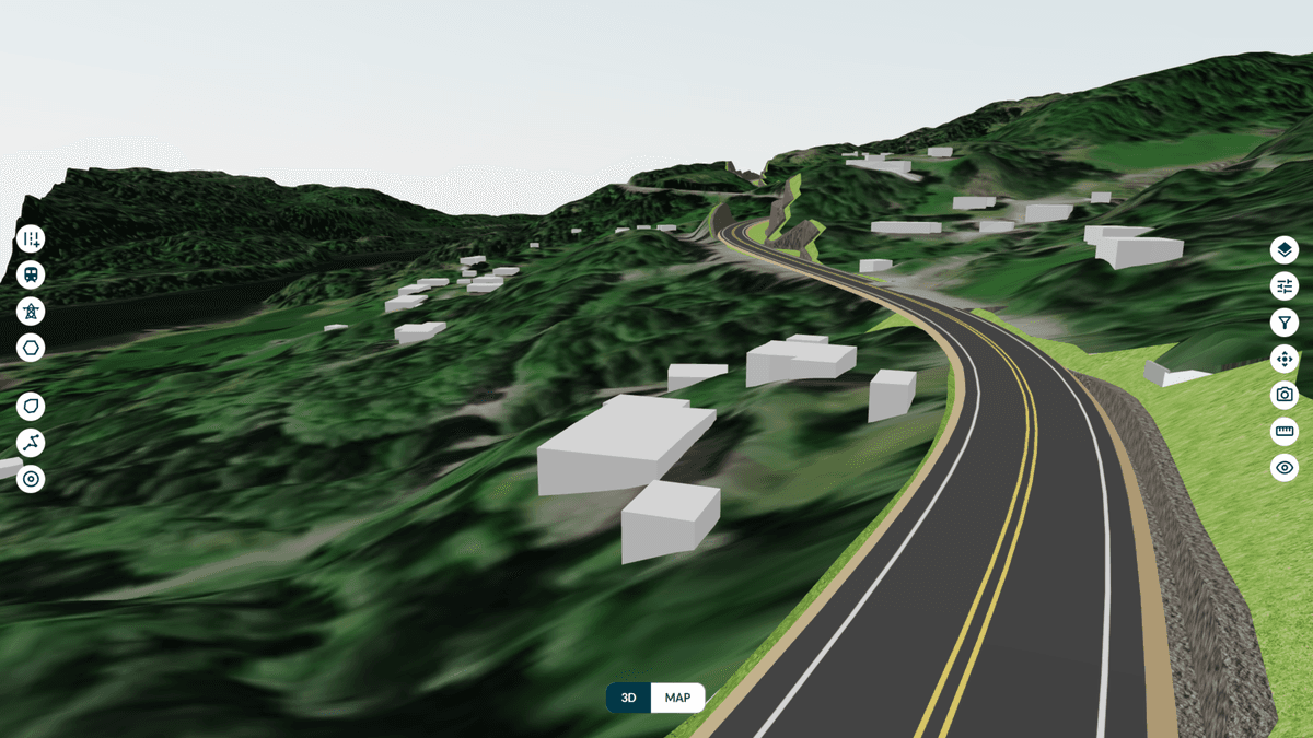
Accessible Web Application
Enable real-time collaboration with shared access to design alternatives and analysis results. All stakeholders can stay informed and make decisions efficiently throughout the project lifecycle.
Instant Insights
Upload alignments to instantly visualize infrastructure alternatives. Support for LandXML, DXF, and TIT/NYL formats with immediate 3D models and impact analysis from your existing files.
"And the best part is that the processing time goes from weeks to minutes, providing us with KPIs that can be used in daily work."
Harald Monsen, Project Manager Nye Veier
Awards and Recognition

Winner of "Best Product" Cassini Challenges, 2024, by EUSPA
Prize: 100,000 €

Finalists, ZIB Program 2024, by DB Mindbox