Use Cases
Real-world success stories and examples of how Infraspace transforms infrastructure planning and design
Examples of Use
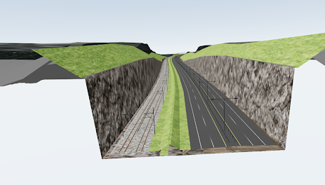
Get Instant Earthwork Estimates
Use Infraspace to instantly estimate volumes for cut, fill, and rock excavation. Whether it's your own proposals or those generated by our AI software, you can obtain instant volume estimates.
Example: Determine the amount of rock excavation required for this project, and calculate the associated carbon footprint from the surplus masses.
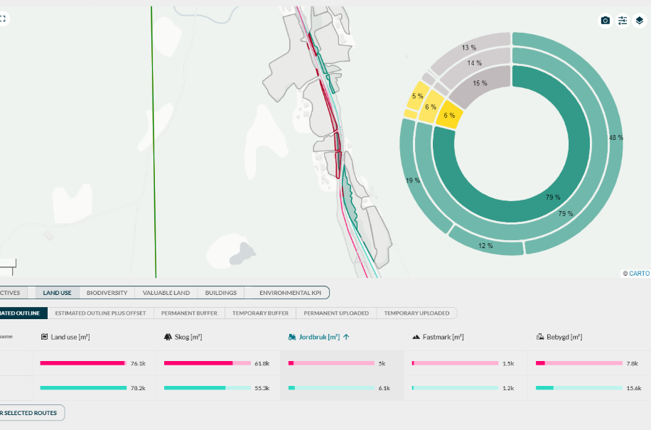
Automated Land Use Analysis
Instantly estimate and visualize how your projects impact land use based on land cover data.
Example: Determine how many square meters of cropland are affected by this road proposal.
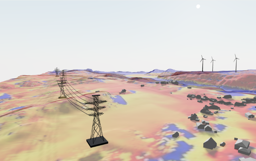
Instant Environmental Impact Assessments
Use Infraspace to instantly analyze your proposals for environmental impact. Gain insights on visibility, valuable land take, barrier effects, level of reuse, and more.
Example: Determine which of your alternatives is the least visible in the landscape.
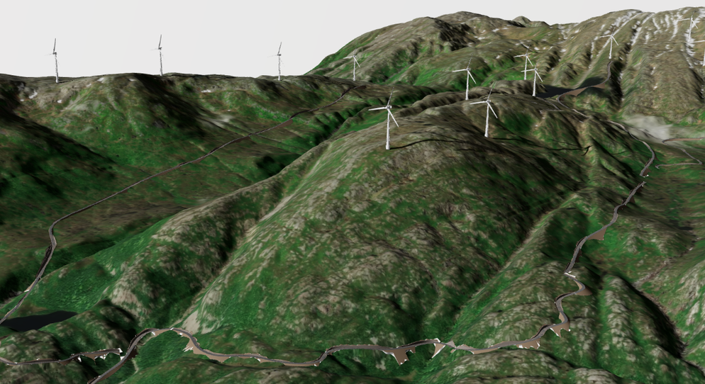
Quickly evaluate access roads
Quickly assess your options for access roads. Generate and visualize proposals to gain instant insights.
Example: Identify viable access roads to this new site. The road width is 5 meters, and the slope must be less than 10%.
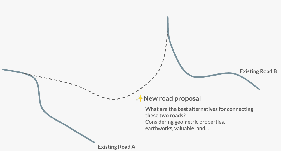
Create a new road between two existing roads
Use AI technology to connect two existing roads with a new road.
Example: What are the best alternatives for connecting two existing roads, considering geometrical properties, earthworks, valuable land...
Find a location
Find the optimal location within the topography, whether it is a planar site, a mass deposition site, or an elevation pool.
Example: What is the optimal location for my mass deposition site, considering volume, topography, and earthworks within a defined area?


