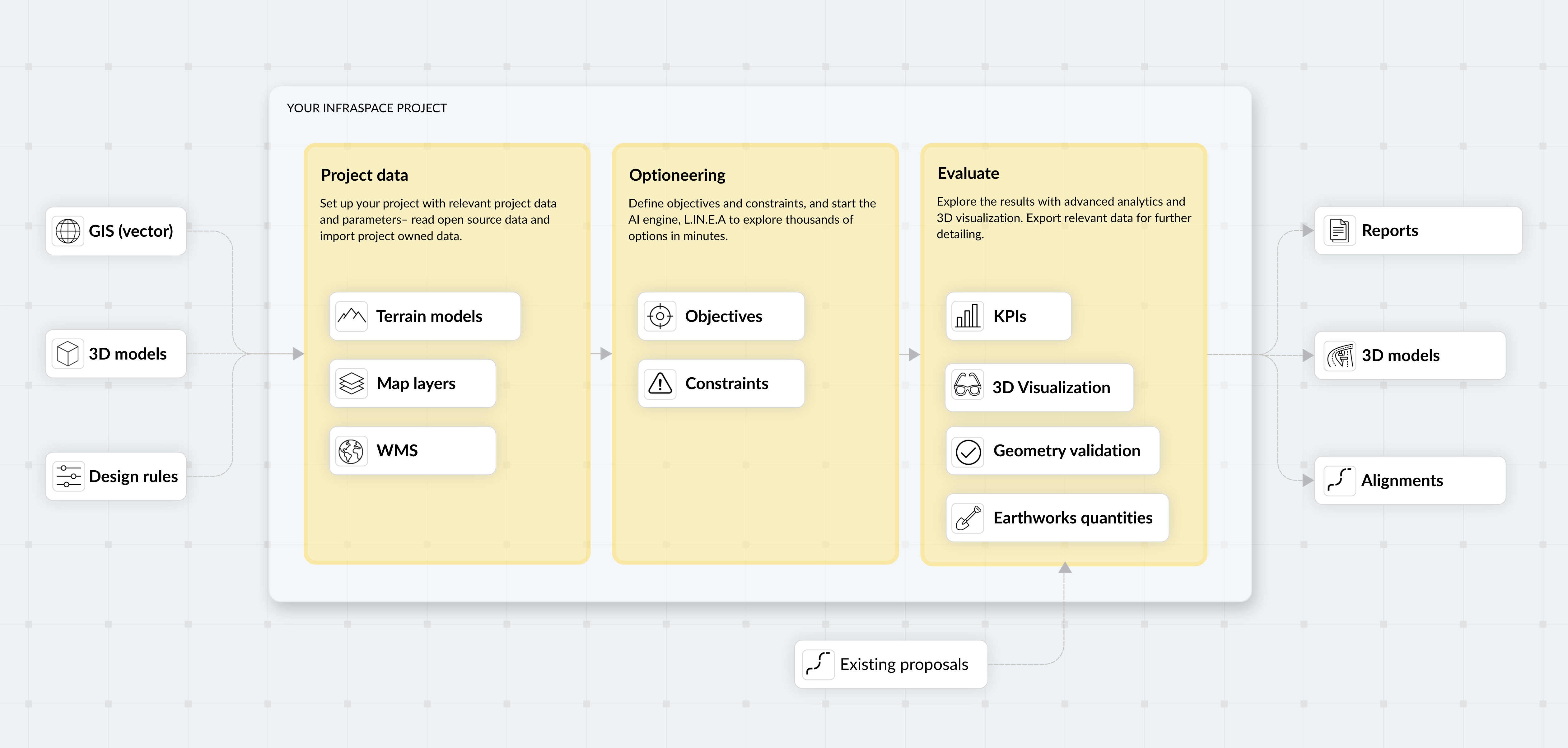
Import
Unified Project Data
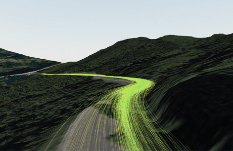
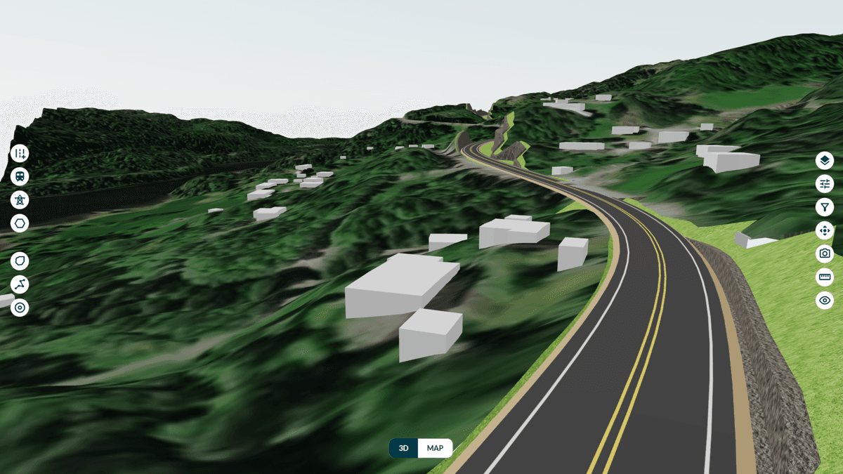
Before you design, you need a foundation. Infraspace initializes projects from open data and your own files — terrain models and map layers included.
GIS and terrain data
Upload geospatial datasets including SHP, GML, and SOSI, and custom terrain models.
3D models
Import 3D models to contextualize the project. Import in formats such as IFC, or glTF/GLB.
Existing proposals
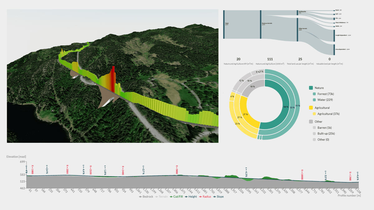
Upload alignments from traditional design tools and analyze them with the same AI-driven framework, format DXF, LandXML, and TIT/NYL.